This post is for subscribers only Subscribe Already have an account? Sign In Please enable JavaScript to view the comments powered by Disqus.
Redistricting 2019 School Board majority favors keeping planned redistricting timeline Click here to read more , and Tom Lappas, Citizen Publisher March 26, 2020
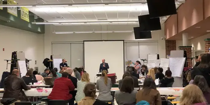
Redistricting 2019 First of back-to-back redistricting gallery walks planned March 4 Click here to read more , and Citizen Staff Reports March 4, 2020
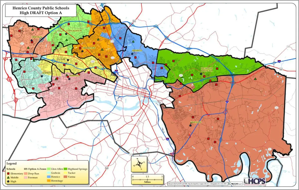
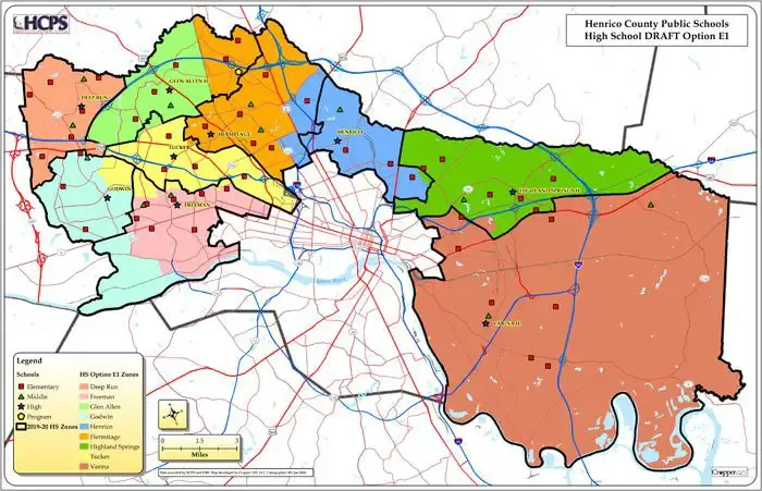
Redistricting 2019 Henrico school redistricting committee releases 12 new boundary maps Click here to read more , and Tom Lappas, Citizen Publisher January 30, 2020
Redistricting 2019 Redistricting committee's meeting likely to spawn several new options Click here to read more , and Tom Lappas, Citizen Publisher January 10, 2020
