
Related

Virginia set to rejoin RGGI as utilities prepare to pass the cost back to ratepayers
Virginia is poised to reenter the Regional Greenhouse Gas Initiative this summer, a move that could again add a monthly charge to electricity customers’ bills as utilities resume buying carbon credits. State officials expect the commonwealth to participate in the program’s September auction once regulations to reestablish the CO2
Click here to read more
HEART awards Community Impact Grants to 9 nonprofits to promote environmental sustainability in Henrico
Nine local nonprofits will receive a combined $30,700 in funding through the 2026 HEART Community Impact Grants program to support environmental sustainability projects in Henrico County. The program is providing grants from $1,500 to $5,000 for initiatives that include pollinator and community gardens, native plant cultivation and
Click here to read more
April 9 Fairfield Forum to feature McClellan, updates on Henrico’s proposed budget, Henrico Schools
Henrico County Board of Supervisors Chair and Fairfield District Supervisor Roscoe D. Cooper III will host a Fairfield Forum meeting Thursday, April 9, featuring U.S. Rep. Jennifer McClellan (D-VA-4th District). The meeting also will include an overview of Henrico’s proposed budget for fiscal year 2026-27 and updates from
Click here to read more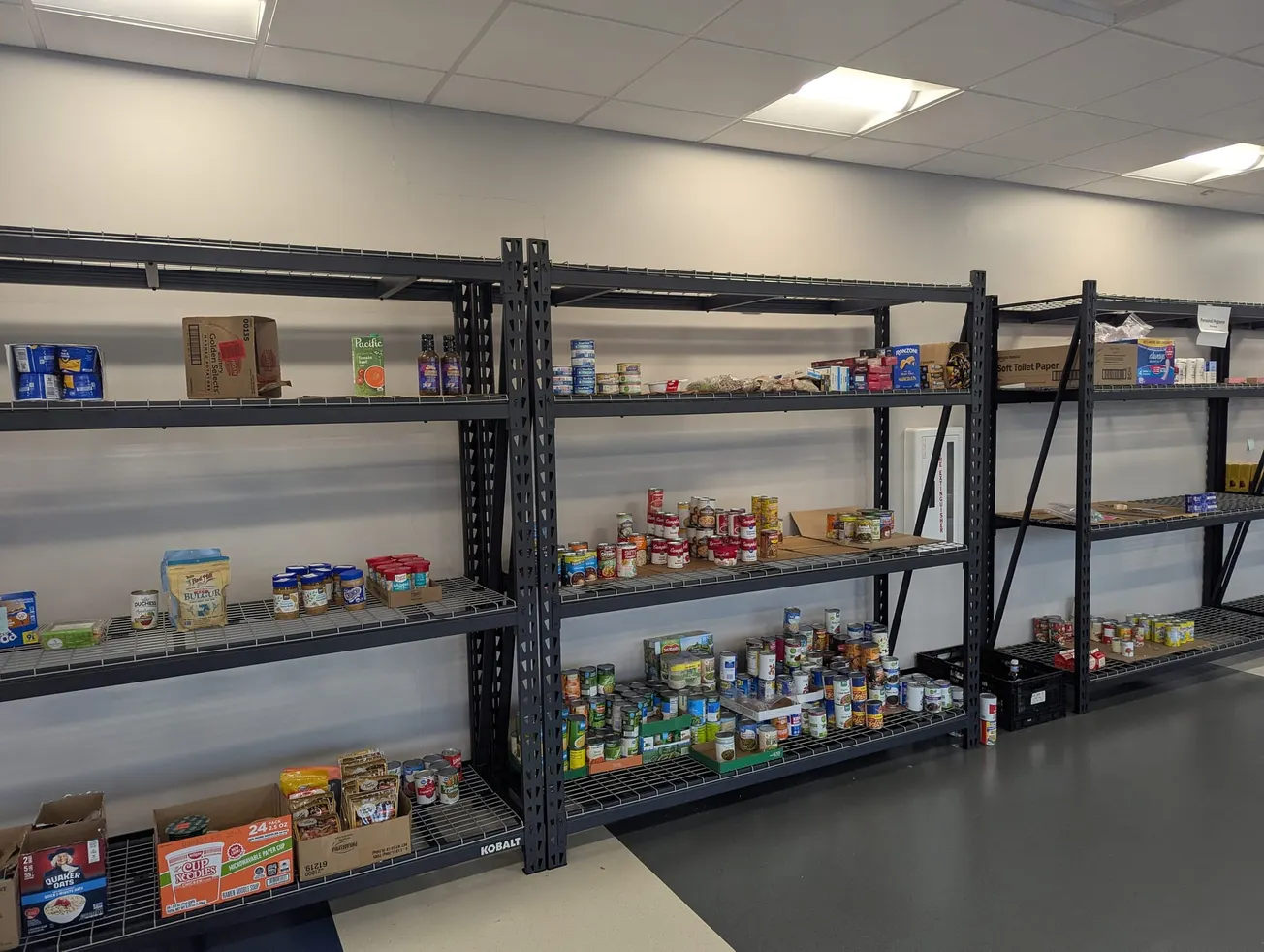
Donations, 'food bank' help as backpay is disbursed to TSA screeners at RIC
Though the 44-day federal government shutdown impacting Transportation Safety Administration airport screeners at Richmond International Airport and throughout the country ended Monday, community donations and the Capital Region Airport Commission continue to help the workforce impacted by paycheck disruption. President Trump directed Department of Homeland Security Secretary Director Markwayne Mullen
Click here to read more