This post is for subscribers only Subscribe Already have an account? Sign In Please enable JavaScript to view the comments powered by Disqus.
General Assembly 2019 Special sessions in House, Senate conclude in less than 10 minutes Click here to read more , and Special to the Citizen November 19, 2019
General Assembly 2019 Pink in a field of blue: Female candidates bring in top donations Click here to read more , and Special to the Citizen October 27, 2019
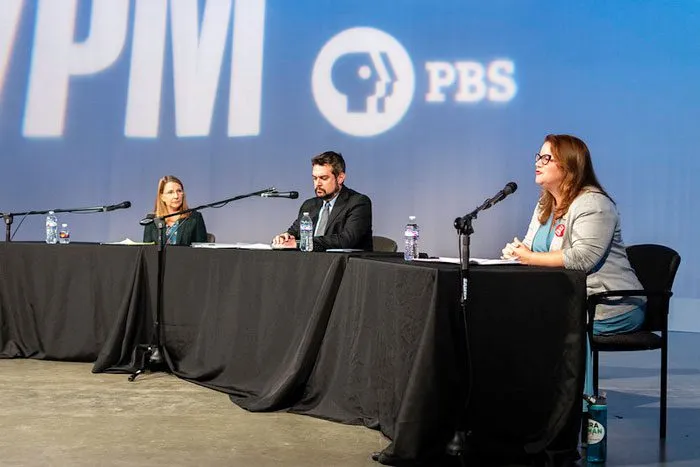
General Assembly 2019 Dunnavant, Rodman debate issues, past controversies Click here to read more , and Special to the Citizen October 24, 2019
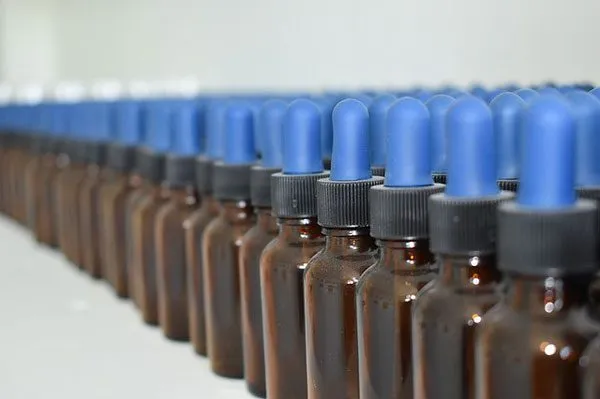
General Assembly 2019 CBD and THC-A oil dispensaries set to open in Virginia Click here to read more , and Special to the Citizen April 10, 2019
