Skip to content

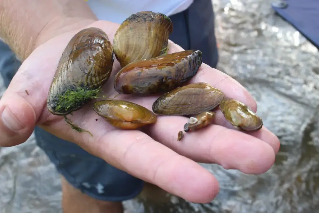
Environmental groups using digital tech to bolster data collection

Table of Contents

Digital technology has become an integral part of everyday life, whether through the use of phones, smart watches, drones or more obscure apps found in the depths of the internet.

And while some movements are pushing for decreased screen time, environmental groups are increasingly tapping into technology to collect data on issues important to them.

From pinpointing areas flooded by rising sea levels and intense rainfall in real time to identifying habitats and monitoring water quality, digital technology is increasingly being leveraged to gather information from members of communities directly being impacted by climate change.

“It brings the abstract of climate change to a concrete example,” said Skip Stiles, executive director of Norfolk-based nonprofit Wetlands Watch.

The approach has been adopted by the state as well as independent groups: The Virginia Department of Conservation and Recreation has ConserveVirginia, a vast compilation of different datasets used to identify the best areas where land can be conserved.

Given limited resources for conservation efforts, the tool is “more than beneficial, it’s necessary,” said Jason Bulluck, director of the Natural Heritage Program at DCR.

Not only is the advent of widespread community data collection providing the scientific backing that lets policymakers and researchers quantify environmental trends, it’s making the public more engaged with such issues.

The information is “civically legitimate data,” said Jeremy Hoffman, a climate scientist at the Science Museum of Virginia who has used mobile thermometers to identify heat trends in urban environments.

What that means is community members know how data were collected and how to interpret the data.

Sea level rise

Wetlands Watch has been using maps to document environmental changes for years.

But in 2012, when Hurricane Sandy hit and social media was widely used to share reports of flooding, “it got me thinking, ‘What if you were able to use social media to do the same thing we’re doing in church basements?’” Stiles said.

At a cost of about $20,000 and after hiring a developer, the group launched an app in 2015 that allows users to take a photo of a flooded area and mark it on a map with a pin.

Users primarily came from the Norfolk region at first but have grown to include residents of the Northern Neck, students and Girl Scouts seeking to earn their environmental awareness badge. An annual “Catch the King” event is held each fall to document the results of significantly larger high tides that result from solar and lunar alignments at that time of year.

“We’re now developing a network we didn’t have before,” Stiles said.

The group has been sharing the data to inform decision making by regional planning districts and the Virginia Institute of Marine Science, where researchers had found compiling individual instances of flooding from local police reports to be laborious, Stiles said.

The challenge is keeping people involved long enough to collect data over time and better visualize what’s going on.

On the other side of the state, nonprofit Appalachian Voices uses the app Epicollect to gather water monitoring data in mines instead of forcing researchers to collect information by hand on site and then return to offices to enter it into computers.

That’s in addition to using satellite imagery to understand mine recovery or Google Earth Engine to see the status of vegetation on surface mines, said Matt Hepler, an environmental scientist with the group.

Maps for mussels

On the wildlife front, mapping is now being incorporated into assessments of Virginia mussels, mollusks that are beneficial in improving water quality but have been severely depleted over the years.

The Chesapeake Bay Foundation is using grant funds to build a map that will let viewers identify habitats where mussels can live. Data collected from the map will then be incorporated into a plan that is being devised with the James River Association to strategically guide decision making about habitat creation.

“The technology has advanced a lot. Now we can make these investments at a large scale that make a difference,” said Erin Reilly, senior staff scientist for the James River Association.

The map tool, which is expected to be operational within a year, will compile observed habitat data from several agencies to identify possible new habitats for species, explained Joe Wood, senior scientist with CBF.

“There’s so much work to do, and obviously we have very limited resources,” said Wood. However, he said, these efforts, coupled with $400,000 the General Assembly allocated during the last session for the crafting of a statewide mussel restoration plan and collaboration with other agencies like the U.S. Fish and Wildlife Service’s Harrison Lake National Fish Hatchery, can help guide decisions.

“We’re really starting to move the needle,” said Rachel Mair, project lead at the Harrison Lake hatchery.

State endeavors

A screenshot of the Virginia Department of Health harmful algal bloom map. (Courtesy of VDH)

When Margaret Smigo, water-borne hazards program coordinator at the Virginia Department of Health, was brought on in 2016, the agency’s algal bloom map was being used similar to a beach monitoring map that was used to document bacteria concerns.

The algal bloom map allows people from any area of the state to report blooms to VDH. A harmful algal bloom task force, co-led by VDH and the Department of Environmental Quality, is then deployed to collect samples to verify the report. Once it’s confirmed and an advisory is issued for the body of water, the designation is added to VDH’s map, which is based off a free Google Map interface, for public viewing.

The crowdsourcing approach is helpful to the agency, which has an HAB program for the Tidewater region but doesn’t have a comprehensive approach to monitoring sites in fresh waters, Smigo said. That’s particularly useful for areas like Lake Anna, which has about 200 miles of shoreline encompassing numerous “micro-climates” that have different characteristics despite close proximity to each other.

“There are a lot of different situations” where data collection can be helpful, Smigo said. The work is regularly carried out by groups like the Friends of the Shenandoah River and the Intercoastal Potomac River Basin, who organize local collection efforts to monitor the different areas of the state.

* * *

This article first appeared on Virginia Mercury and is republished here with permission. Virginia Mercury is part of States Newsroom, a network of news bureaus supported by grants and a coalition of donors as a 501c(3) public charity. Virginia Mercury maintains editorial independence.